
NEWS
Hawaii Reran Its Iniki Playbook as Lowell Missed Kauai
Hawaii kept its Iniki-era emergency in force as Hurricane Lowell passed 110 miles off Kauai after peaking at 160 mph.

Hawaii’s statewide emergency, signed September 2 for Category 5 Hurricane Lowell, was still in force after the core passed 110 miles northwest of Lihue. Governor Josh Green had already opened the Major Disaster Fund and lifted its usual $10 million cap.
The islands were still cleaning up from Tropical Cyclone Lala when Lowell pointed toward Kauaʻi on the same south-then-north bend that carried Hurricane Iniki over the Garden Island in 1992.
A Statewide Emergency for Three Named Storms
Green’s office posted an emergency proclamation covering the entire state on September 3, a day after he signed it at the Capitol. The order named Hurricane Lowell, Hurricane Karina, Tropical Storm Marie, and any later storm that might pile onto that list.
Six high-water vehicles were already rolling toward Kauaʻi, and Hawaii National Guard units could be called up before the turn north. The paper did not close schools or set a curfew. It cleared the path for money, people, and equipment to move without the usual waits.
Our state is still recovering from Lala, and we are not waiting for another storm to get close before preparing. This proclamation gives our agencies and counties the flexibility to move people, equipment and resources quickly so we can protect communities across every island.
Josh Green, Governor of Hawaiʻi, September 3, 2026 news release
The National Weather Service, cited in the signed text, had forecast 5 to 13 tropical cyclones in the central Pacific from June 1 through November 30, plus 15 to 22 named storms and 9 to 14 hurricanes in the eastern Pacific. An El Niño advisory was in effect, which the order tied to warmer water and a higher chance of strong storms aimed at the chain.
WHAT THE SEPTEMBER 2 ORDER UNLOCKED
- National Guard: The adjutant general may activate units to help civilian agencies and keep civil law in force.
- Disaster fund: The Major Disaster Fund is on, and the order suspends the $10 million spending limit for a single emergency.
- Utilities: Operators of critical systems may restrict public entry to protect lines, plants, and other gear.
- Buying rules: Procurement, hiring, permits, and repair steps that would slow emergency work are eased for the relief period.
At 11 a.m. on September 2, the same document placed Lowell about 445 miles south of Hilo, moving west, with maximum sustained winds of 160 mph. Forecasters said a sharp north turn was coming. That sentence is the whole Hawaiian hurricane problem in one line.
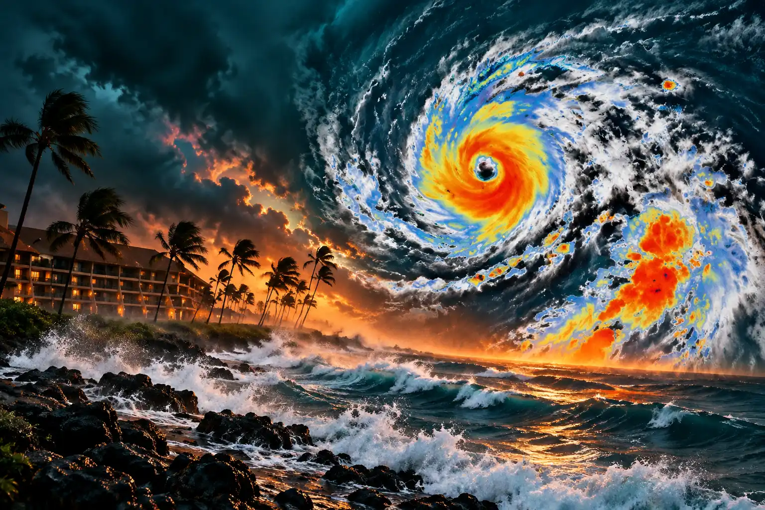
Lowell Followed Iniki’s Turn Toward Kauai
Most storms that form south of the islands keep going west and miss. The ones that hurt Hawaii are the ones that bend. On September 11, 1992, a large trough pulled Hurricane Iniki north and then across Kauaʻi as a Category 4 hurricane, the strongest landfall on record in the state.
NOAA’s Atlantic Oceanographic and Meteorological Laboratory later counted six deaths and $1.8 billion in damage. Ted Fujita’s survey team found microbursts and small swirls on top of the core winds as the eye crossed the island. The 1992 central Pacific season had 11 storms, in another El Niño year.
Lowell’s early maps looked like that same homework. It sat south of the chain as a Category 5, then the steering pattern opened a north door toward Kauaʻi and Niʻihau. Satellite labels from NOAA’s NESDIS desk showed Lowell hitting Category 5 on September 2 and regaining Category 5 on the afternoon of September 4.
INIKI AND LOWELL ON THE SAME BEND
| Storm | Date | Peak | Closest to Kauaʻi | Result |
|---|---|---|---|---|
| Hurricane Iniki | September 11, 1992 | Category 4 landfall | Eye crossed near Waimea | Six deaths, $1.8 billion in damage |
| Hurricane Lowell | September 8, 2026 | Category 5, 160 mph | 110 miles northwest of Lihue | Core west of Niʻihau at 105 mph |
Green said on September 4 that a Category 4 with 140 mph winds could tip back toward Kauaʻi, and he stood with Kauaʻi Mayor Derek Kawakami, Adjutant General Maj. Gen. Stephen Logan, and National Weather Service meteorologist John Bravender to walk through harbor shutdowns, lower reservoir levels, and park closures. The comparison was not poetry. It was the track.
How Close Did the Eye Get to Lihue?
The National Weather Service in Honolulu said Hurricane Lowell reached its closest point around midnight and then began to pull away on September 8. A hurricane warning stayed up for Kauaʻi and Niʻihau. A tropical storm warning stayed up for Oʻahu.
That is the miss that still hits. The eye did not go over Waimea. The wind field was wide enough to rake the west end of the chain anyway, which is why Lihue and Barking Sands logged hurricane-force gusts while the center was near Niʻihau.
The 11pm HST Hurricane #Lowell advisory forecast. Lowell has reached it's closest point to Hawaii and will begin tracking away from the islands this morning. A Hurricane Warning remains in effect for Kauai and Niihau, and a Tropical Storm Warning for Oahu. #hiwx pic.twitter.com/fjo9DutLnf
— NWSHonolulu (@NWSHonolulu) September 8, 2026
Early track charts had left more water between Lowell and Kauaʻi. By the last days before the pass, the path had crawled onto the right edge of Friday’s forecast cone, the side that clips the islands. The Friday cone already allowed that. Lowell used it.
Karina, named beside Lowell in the September 2 order, had already faded to a post-tropical gale well east of the chain. Marie was down to 45 mph far off Mexico. The three-name threat on the proclamation shrank to one storm with a large reach.
105 mph and 110 Miles From Lihue
Central Pacific Hurricane Center Intermediate Advisory 49A, issued at 2 a.m. HST on September 8 by the National Hurricane Center, put the center at 22.9 north, 160.8 west. An Air Force Reserve Hurricane Hunter fix supported a pressure of 965 mb. Forecaster Blake had the storm moving north at 18 mph, then northwest and west later in the week as it slowed.
LOWELL AT 2 A.M. HST SEPTEMBER 8
- Winds: Maximum sustained 105 mph, with hurricane-force winds reaching 70 miles from the center and tropical-storm-force winds reaching 195 miles.
- Distance: About 110 miles northwest of Lihue and 215 miles west-northwest of Honolulu.
- Rain: Another 4 to 8 inches on Kauaʻi with storm totals as high as 24 inches; another 3 to 8 inches on the Big Island with isolated totals of 12; another 2 to 5 inches on Oʻahu and Maui County with isolated totals of 10.
- Surge: 2 to 4 feet above ground in Kauaʻi County, highest on Kauaʻi’s south coast and on Niʻihau; up to 1 foot on Oʻahu.
Lihue Airport reported sustained winds of 53 mph and a gust to 75 mph. Daniel K. Inouye International Airport in Honolulu reported a gust of 43 mph. The Honolulu forecast office said peak gusts on Kauaʻi and Oʻahu had run as high as 80 mph, then eased into a 60 to 70 mph range on Kauaʻi and 30 to 50 mph on Oʻahu, with faster flow over ridges and downslope.
The same advisory kept a hurricane warning on the Papahānaumokuākea Marine National Monument from Nihoa to French Frigate Shoals. Several tornadoes were possible near Kauaʻi and Niʻihau overnight, with a few possible elsewhere in the islands. A south-to-southwest swell was peaking at 20 to 30 feet on Kauaʻi’s south and west shores and 15 to 20 feet on the same exposures of Oʻahu.
None of that reads like a clean dodge. A core at 105 mph northwest of Lihue can still throw hurricane-force gusts into towns that never see the eye.
Kauai’s Warning, Oahu’s Closed Offices
On September 7, Green expanded a closure order through Tuesday, September 8, for state and county offices, public schools, University of Hawaiʻi campuses, and Judiciary buildings on Oʻahu and in Kauaʻi County, including Niʻihau. Essential crews stayed on. He asked people to stay inside and off the roads so those crews could work.
“Hurricane Lowell is bringing dangerous conditions, including the threat of destructive winds, flash flooding and damaging surf,” Green said. He had already told residents to keep Labor Day, September 7, as quiet as they could. Later that Monday he said the storm had trended closer to Kauaʻi, with 115 mph winds in the afternoon field, and that an extra Guard platoon was on duty there.
WHAT CLOSED ON KAUAI AND OAHU
- Airports: Lihue Airport shut Monday afternoon after airlines and TSA halted operations; Hawaiian Airlines and Alaska Airlines stopped Lihue flying from 11 a.m. Monday, and Alaska planned to drop 21 Lihue flights that day.
- Parks: Polihale State Park, Nā Pali Coast State Wilderness Park including the Kalalau Trail, and Hāʻena State Park including Kēʻē Beach were closed, with county parks and forest reserves on Kauaʻi shut as well.
- Events: The Kauaʻi Marathon was called off so roads and crews could stay on storm work.
- Offices: State, county, school, university, and court sites on Oʻahu and in Kauaʻi County were dark on September 8.
The Hawaii Tourism Authority’s visitor desk kept a running page of what visitors need to know, island by island, and said most other airports were still handling flights even as Lihue spun down. Waivers from Hawaiian, Alaska, United, and American covered Lihue dates around September 7 and 8, with American’s window stretched to Honolulu, Kahului, and Kona.
Flash flooding and mudslides remained the inland threat, especially on Kauaʻi and on the Big Island’s south and east slopes, where Lala had already chewed up roads and the grid in August.
After Lala, Guard Crews Stayed on Hawaii Island
The September 2 order is blunt about why the state would not wait. Lala hit around August 14 through 16, killed people, and tore up power, roads, communications, and private property. Green later said documented public need was at least $81 million and that 790 properties had individual aid needs, a number he expected to rise.
He asked for and received a presidential disaster declaration for Kaʻū and for damage at Nāʻālehu Cemetery. Pacific Air Forces, the Hawaii National Guard, Southern California Edison, and Hawaiian Electric ran Operation TREK808, flying 143,790 pounds of utility trucks and gear from California to Hilo on two C-17 Globemaster III aircraft. Guard members helped with debris, wellness checks, and the careful recovery of remains from the cemetery.
At the peak of that response, more than 240 Guard members were on duty. Work on Oʻahu and Kauaʻi wound down first. Maui and Hawaiʻi Island still had teams when Lowell’s north turn showed up on the maps. Kauaʻi had been the lighter Lala island. It was the heavier Lowell island.
That stack is the part a single-storm headline drops. The Major Disaster Fund cap came off because the state was already writing checks for one cyclone and could see three more names on the same sheet.
An Emergency Clock Set for November 1
The disaster relief period started when Green signed and runs through November 1, 2026, unless a later order cuts it off. Contracts and hires made under it can continue after that date. The hurricane warning on Kauaʻi County was always going to come down on its own once the core moved north. The statewide paper does not.
Lowell was forecast to weaken over cooler water, turn west, and slow on September 9 and 10. Additional rain, surf, and downed lines were the jobs left on the islands after the eye left the frame. The Iniki lesson that still sits in the files is not that every north-turning storm will cross Waimea. It is that Hawaii gets almost no spare day when one does, and the only cheap move is to treat the bend as real while the core is still south.
On September 8 the core was west of Niʻihau, the offices were closed, and the emergency signed for a 160 mph storm was the law through fall.

Christa Pike Survived the Execution Tennessee Would Not Pause

Musk’s Oligarch Charge Hits a Queue of Three

Circle Puts USDC and EURC Into SAP Pay Workflows

Ring’s First Smart Lock Skips Home Wi-Fi for Sidewalk

GTA 6 Puts Cash Back on the Story Path

Salah Captained Egypt to Their First World Cup Win

Aramco Crash Kills 14 Two Days After Oil Restart

Apple Labor Day Deals Hide June’s Memory Price Hike

Zelda’s 40th Switch 2 Ships Without a Zelda Game

Palworld 1.0.4 Adds Palpedia Search After the 1.0 Launch
-
 NEWS5 months ago
Salah Captained Egypt to Their First World Cup Win
-
 BUSINESS4 months ago
Aramco Crash Kills 14 Two Days After Oil Restart
-
 NEWS2 months ago
Apple Labor Day Deals Hide June’s Memory Price Hike
-
 GAMING1 month ago
Zelda’s 40th Switch 2 Ships Without a Zelda Game
-
 GAMING1 month ago
Palworld 1.0.4 Adds Palpedia Search After the 1.0 Launch
-

 NEWS4 months ago
El Niño Puts Israel’s Needed Winter Rain on a Flood Clock
-

 BUSINESS8 months ago
Egypt Bets EGP 638 Billion Can Open Sinai to Investors
-

 BUSINESS8 months ago
BAE’s 60-Year Saudi Franchise Now Runs Through Taif