The Egyptian Meteorological Authority (EMA) forecasts hot and humid weather across most of Egypt on Tuesday, with Cairo at 34°C and Aswan at 42°C at the top of the day’s range. The south will see extremely hot conditions, the EMA said, while the Mediterranean coast stays comparatively mild. High humidity will push the felt temperature 1-2 degrees above the thermometer reading nationwide.
Mist extending into fog is expected on northern and central roads, and dust winds may limit horizontal visibility in the far-southern Red Sea coast. The Red Sea itself will see moderate to turbulent waves through the day, with the Gulf of Suez at the upper end of the maritime risk range.
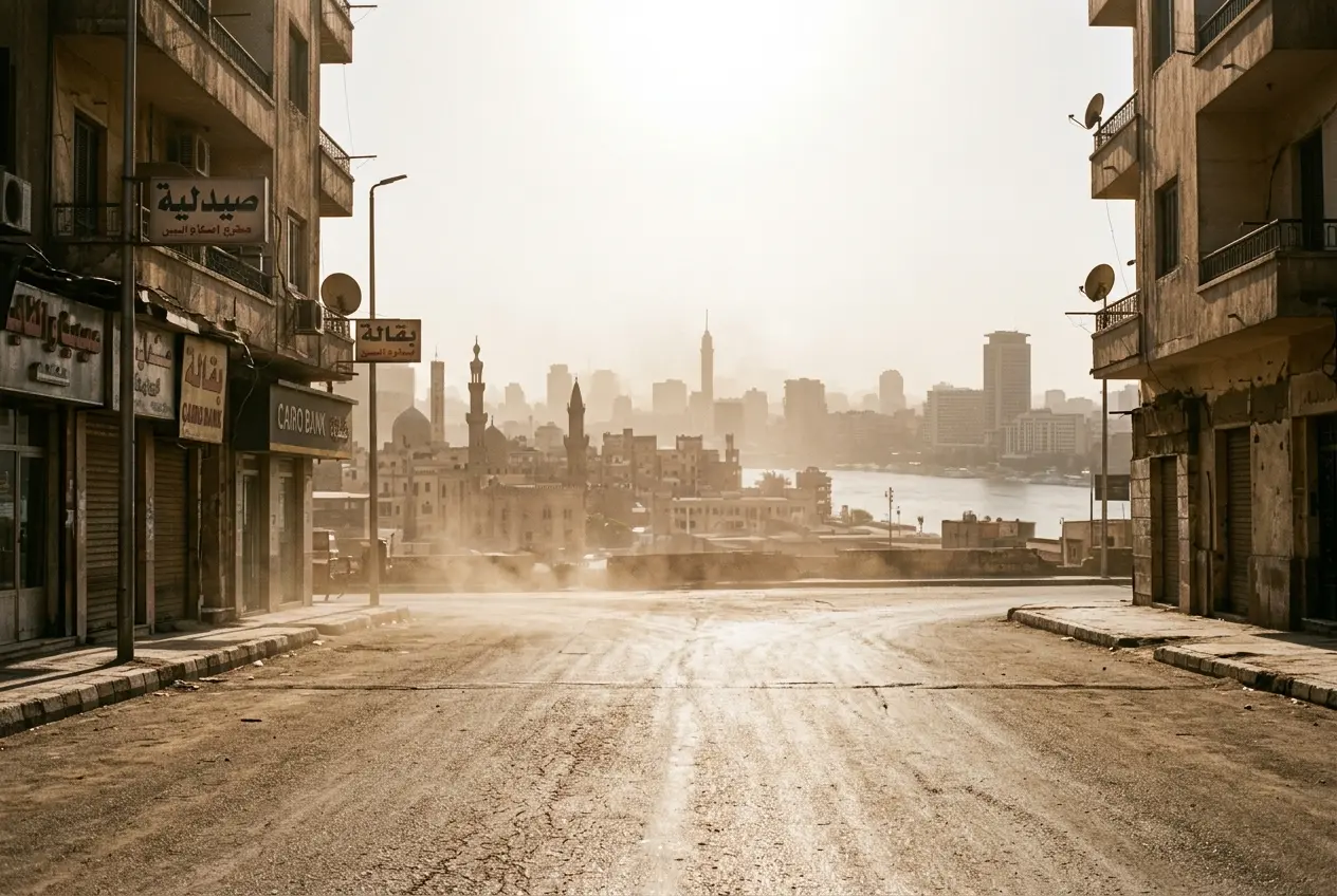
Hot and Humid Across Most of the Country
The EMA, Egypt’s national weather forecaster, said hot and humid weather will prevail in most of the country during Tuesday’s daylight hours. The forecast covers the densely populated Nile Valley and Delta, the Suez Canal zone, and parts of the Red Sea coast.
Extremely hot weather is also expected to prevail in the south of the country, where Aswan and Qena are forecast to cross 40°C. Sohag is expected to reach 39°C, according to the EMA outlook. The northern coast will stay comparatively mild, with Alexandria at 29°C and Marsa Matruh at 28°C. The capital sits at the middle of the range, forecast under the same hot and humid blanket that covers the rest of the country. The forecast continues the hot pattern that has held across Egypt through the first half of June.
Upper Egypt is the hottest zone, with the North Coast staying in the high 20s. The humidity layer narrows the gap between the felt temperature in Cairo and the recorded high in the Delta.
Humidity Pushes the Heat Index Higher
The EMA warned that the weather will seem hotter due to the high humidity levels, which will push up the heat index by 1-2 degrees. The adjustment makes outdoor conditions feel hotter than the recorded temperature, and the effect compounds in cities where concrete and asphalt trap overnight moisture. Residents planning time outdoors should treat the felt temperature, not the forecast high, as the working number for the day. The humidity layer covers most of the country, with the Delta and Canal Cities seeing the densest moisture through the morning.
The humidity load is most pronounced in the Nile Delta and Canal Cities, where damp air off the Mediterranean lingers through the morning. The same moisture feeds the mist and fog that the EMA forecasts for the northern and central road network on Tuesday.
Fog and Mist on Northern Roads
Mist, extending into fog, is expected on the agricultural and highway roads from the north of the country to Cairo, Canal Cities, Central Sinai, and North Upper Egypt on Tuesday. The advisory covers the main highway corridors and the rural road grid. The EMA did not give a specific fog start time, leaving the exact window to the morning observation.
The affected corridors include:
- Northern Egypt and the North Coast road network
- Greater Cairo and the Delta highway grid
- The Suez Canal Cities corridor (Suez, Ismailia, Port Said)
- Central Sinai road network
- North Upper Egypt agricultural roads
The fog window typically opens in the early morning and lifts once the sun climbs higher. Drivers on the Cairo-Alexandria desert road, the Ismailia-Port Said corridor, and the road networks around Central Sinai should plan for reduced visibility in the first hours after dawn. The fog is forecast to be densest where agricultural irrigation and the Nile’s morning mist overlap. Motorists should allow extra time for the morning commute through the Delta and along the North Coast road. The advisory covers both agricultural roads in the Delta and the main highway corridors, and runs from the north of the country down to North Upper Egypt.
Wind and Dust in the Far South
In the far south, the EMA placed a 30% chance of dust winds in the far-southern Red Sea coastal cities of Halayeb and Shalateen. The dust will limit horizontal visibility, and the agency did not assign a specific end time to the warning. The two cities sit on the disputed border zone with Sudan and are among Egypt’s most remote Red Sea outposts, with limited road access.
Across the rest of the country, wind speeds between 30 and 35 kilometres per hour (km/h) are expected to occur occasionally in Cairo, South Sinai, the Red Sea governorate, and North Upper Egypt. The winds are not flagged as hazardous on their own, but in open desert stretches and construction sites the gusts may pick up loose sand and reduce visibility briefly. Coastal operators in South Sinai should account for the wind direction when planning diving and boat trips.
Sea Conditions for Mariners
Maritime conditions vary by basin on Tuesday. The Mediterranean Sea will experience low to moderate waves, ranging between 1 and 1.75 meters in height with northeast surface winds.
The Red Sea will be rougher. Waves in the Red Sea will be moderate to turbulent, ranging between 1.5 and 2.5 meters in height with northwest surface winds. Fishing boats and small craft should check local harbour advisories before sailing from Hurghada, Marsa Alam, or Sharm el-Sheikh.
Moderate to turbulent maritime conditions are expected in the Gulf of Suez, ranging between 2 and 2.5 meters in height, with northwest surface winds. The combination of wind direction and wave height places the Gulf at the upper end of the day’s maritime risk, though the EMA did not issue a blanket small-craft advisory. The advisory covers the three basins in the same Tuesday bulletin, with each given a separate wave range. The EMA did not assign a specific end time to the maritime warning.
The northwest wind direction is the same across the Red Sea and the Gulf of Suez, while the Mediterranean sees a northeast wind. The EMA’s outlook does not flag any of the three basins as dangerous for commercial shipping.
Maritime and wind figures from the EMA outlook:
- Mediterranean wave height: 1-1.75 meters (low to moderate)
- Red Sea wave height: 1.5-2.5 meters (moderate to turbulent)
- Gulf of Suez wave height: 2-2.5 meters (moderate to turbulent)
- Land wind speeds: 30-35 km/h in Cairo, South Sinai, Red Sea, North Upper Egypt
City Temperatures at a Glance
The EMA’s city-by-city forecast for Tuesday, in degrees Celsius:
| City | Forecast Temperature |
|---|---|
| Cairo | 34°C |
| Alexandria | 29°C |
| Marsa Matruh | 28°C |
| Sohag | 39°C |
| Qena | 41°C |
| Aswan | 42°C |
Aswan and Qena in Upper Egypt cross 40°C, while Alexandria and Marsa Matruh on the Mediterranean stay below 30°C. The humidity adjustment pushes the felt reading 1-2 degrees above the printed number, layering on top of the temperature spread. The same heat pattern is forecast to roll into Wednesday, with the next day’s outlook calling for hotter conditions in Cairo. The capital’s reading sits at the midpoint of the table.
Overnight and Early Morning Outlook
Moderate and humid weather is also expected to prevail in most parts of Egypt at night and in the early morning, with the moisture load keeping the air heavy. Indoor cooling will still be needed through the small hours. The overnight pattern repeats the daytime gradient.
Moderately hot weather is also expected to prevail in South Upper Egypt through the night. The drop from the daytime peak is limited in the south, and air conditioning loads on the regional grid will stay elevated. North Coast cities will see the largest overnight drop, though humidity will keep the air warm. Even after dark, the humidity keeps the air heavy in the Delta and Canal zone.
The heat pattern is consistent with the broader June build-up across the country.
Frequently Asked Questions
What is the weather in Cairo on Tuesday?
Cairo is forecast at 34°C on Tuesday, with hot and humid daytime conditions, occasional winds of 30 to 35 km/h, and a heat index 1-2 degrees above the thermometer reading.
How hot will Upper Egypt be on Tuesday?
Upper Egypt will see the country’s hottest conditions. Aswan is forecast at 42°C, Qena at 41°C, and Sohag at 39°C, with extremely hot weather prevailing in the south.
Will there be fog on Tuesday morning in Egypt?
The EMA forecasts mist extending into fog on agricultural and highway roads from northern Egypt through Cairo, the Canal Cities, Central Sinai, and North Upper Egypt.
What are the sea conditions on Tuesday?
The Mediterranean will see low to moderate waves of 1-1.75 meters with northeast winds. The Red Sea will be moderate to turbulent at 1.5-2.5 meters, and the Gulf of Suez will see 2-2.5 meter waves with northwest winds.