Industrial fishing is one of the most widespread and profitable human activities on the planet. However, it is also one of the most secretive and poorly regulated. A new study reveals that 75% of the world’s industrial fishing vessels are ‘hidden’ from public view, using various methods to avoid detection and accountability.
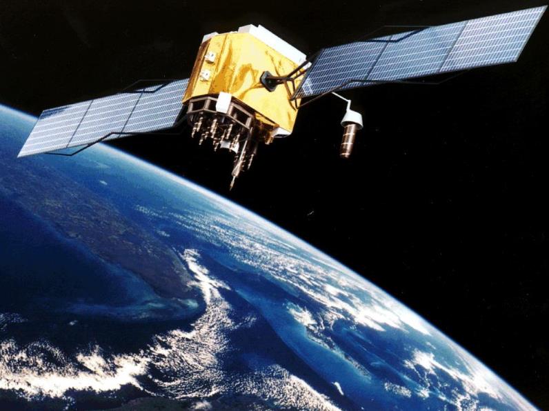
The study was conducted by researchers from the Global Fishing Watch (GFW) initiative, a partnership between Google, SkyTruth, and Oceana. GFW uses satellite data and machine learning to track and monitor the activities of over 70,000 fishing vessels around the world.
GFW aims to provide transparency and accountability to the fishing industry, which is often plagued by illegal, unreported, and unregulated (IUU) fishing. IUU fishing threatens the sustainability of fish stocks, the livelihoods of coastal communities, and the health of marine ecosystems.
The Hidden Fleet
The researchers analyzed the satellite data from 2018 to 2020 and found that only 25% of the industrial fishing vessels broadcasted their identity and location using the Automatic Identification System (AIS), a radio-based system that is mandatory for vessels over 300 gross tonnage.
The remaining 75% of the vessels were classified as the ‘hidden fleet’, which used various methods to conceal their activities, such as:
- Switching off their AIS transponders
- Tampering with their AIS signals
- Using fake or duplicate identities
- Operating in areas with poor satellite coverage
- Using smaller vessels that are not required to use AIS
The researchers found that the hidden fleet was more prevalent in regions with weak governance, high levels of IUU fishing, and low transparency, such as West Africa, Southeast Asia, and South America.
The Implications and Recommendations
The study highlights the need for more effective monitoring and enforcement of the fishing industry, especially in the high-risk regions. The researchers recommend that:
- All fishing vessels, regardless of size, should be required to use AIS or other satellite-based systems
- The AIS data should be publicly available and verified by independent authorities
- The fishing vessels should be registered and licensed by their flag states and regional fisheries management organizations
- The fishing vessels should adhere to the catch limits and quotas set by the scientific assessments
- The fishing vessels should respect the marine protected areas and the rights of local and indigenous communities
The researchers hope that their study will raise awareness and inspire action to improve the transparency and sustainability of the fishing industry. They also hope that their satellite data and analysis will be used by other stakeholders, such as governments, NGOs, media, and consumers, to hold the fishing industry accountable and to protect the ocean.