The Israel National Trail, a hiking trail that crosses the entire country from north to south, has recently added two new sections that connect the northern end of the trail to Mount Hermon, the highest point in Israel. The new sections, which were marked by the Society for the Protection of Nature in Israel (SPNI), span about 38 kilometers and pass through natural landscapes, heritage sites, and local communities.
A long-awaited change for hikers and nature lovers
The Israel National Trail was inaugurated by the SPNI in 1995 and has since undergone many changes and adjustments to accommodate the development of the country, the security issues in some areas, and the addition of new attractions and viewpoints. The trail is divided into 56 sections, which can be walked in sequence as a long trek or separately as day hikes. The trail can take a few months to complete, depending on the pace and preferences of the hikers.
Until two years ago, the northern end of the trail was at the Beit Ussishkin Museum in Kibbutz Dan, but this route faced two problems: a safety difficulty in the section between Tel Hai and Ma’ayan Baruch, where hikers had to walk along the edge of a narrow road without curbs, and a desire of many hikers to start or end the trail at the northernmost point of the country. Therefore, the SPNI decided to change the route and extend it to Mount Hermon, with the assistance of local municipalities, the Nature and Parks Authority, the IDF, and charitable organizations.
A scenic and diverse route from Mount Hermon to Tel Hai
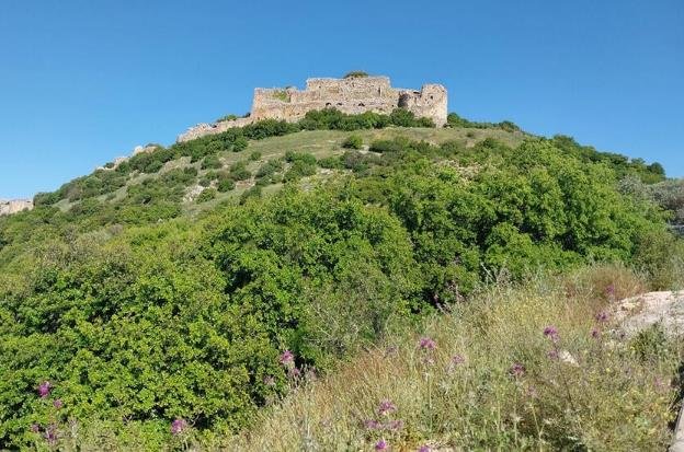
The first new section of the trail starts at the ticket offices of the Hermon site and descends to the Hula Valley and Tel Hai, where it meets the continuation of the trail to the south. The section is about 24 kilometers long and passes through various sites such as Givat HaEm, Banias and Nimrod Fortress, Nabi Hazouri, Neve Ativ, and more. The section offers panoramic views of the area and its surroundings, including Ramim Cliff, Hula Valley, Golan Heights, and Mount Hermon. The section also connects to the Golan Trail, another hiking trail that runs along the Golan Heights.
The second new section of the trail is about 14 kilometers long and runs from Tel Hai to Kiryat Shmona, passing through Tel Hai College, various sites in Kiryat Shmona such as Ein Zahav, Golden Park and JNF Park, the promenade between Kiryat Shmona and Nehemia Field, and the Jordan River. The section showcases the urban and rural aspects of life in the Upper Galilee region.
A proud achievement for the SPNI and a challenge for hikers
The SPNI announced that maps of the new route will be available for purchase on its website soon. The organization also expressed its pride and satisfaction with the completion of the marking of the new sections. Dan Alon, director-general of SPNI, said: “Twenty-eight years after the trail was inaugurated, we are proud to say that Hermon and the Golan Heights entered the trail’s route. Do not say from Dan to Eilat, from now on say from Hermon to Eilat.”
Itzik Ben Dov, coordinator of marking trails at SPNI, explained that the new route was designed to address both safety and aesthetic issues: “We wanted to create a safe route that would also be attractive and interesting for hikers. We believe that we have succeeded in doing so and we hope that many hikers will enjoy this route.”
The new sections add another challenge for hikers who wish to complete the entire trail or parts of it. The ascent to Mount Hermon requires physical fitness and preparation, especially in winter when snow covers most of the mountain. However, for those who love nature and hiking, this challenge may also be an opportunity to experience one of the most beautiful and diverse regions in Israel.